Transform Your Data Into Actionable Insights
MariSoftGIS was specifically developed and designed to eliminate potential confusion and the complexity of creating a ESRI Geodatabases for final deliverables, which can be easily integrated into end Clients Geodatabases.
Digital video is visualised with Long-Profile, X-Profile and Events. However, GIS allows the incorporation of other GIS data & other survey results
Create (SSDM and PODS) Geodatabases
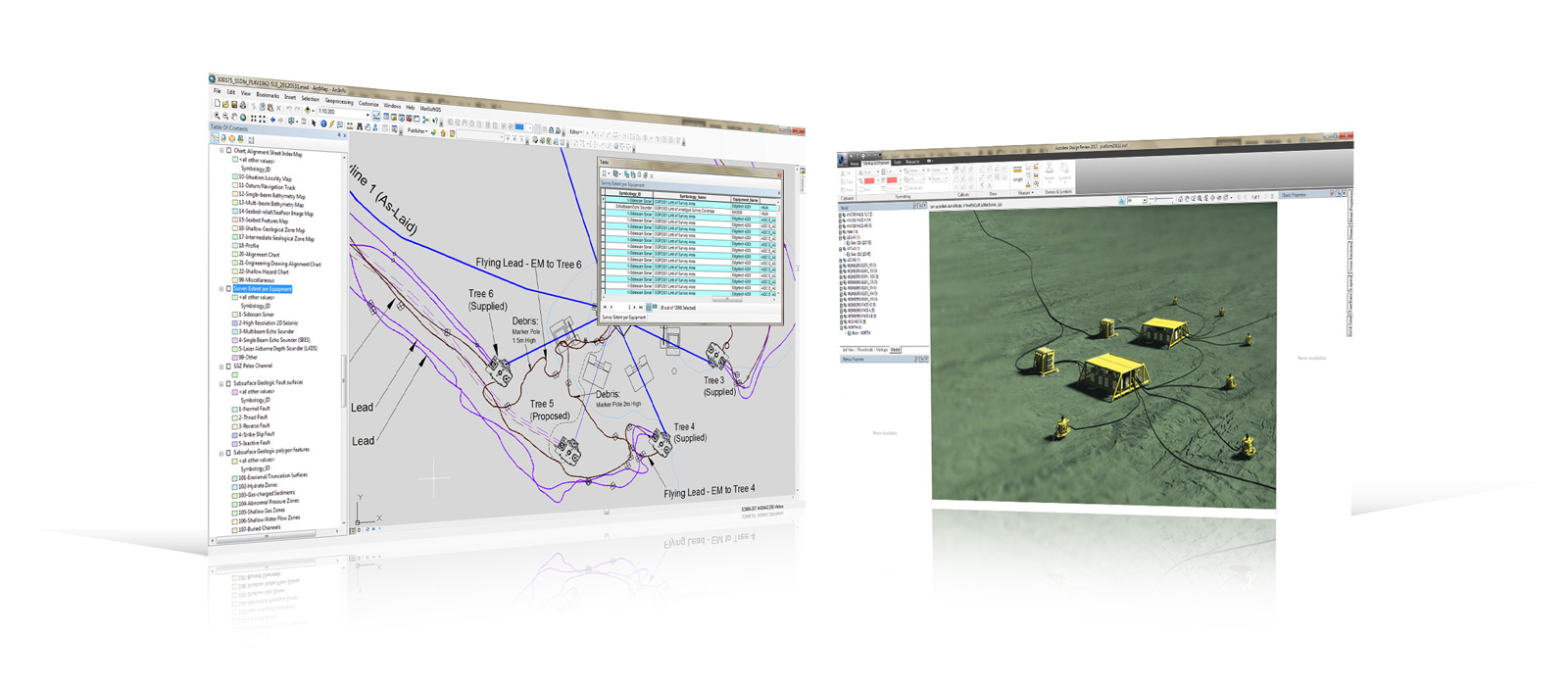
MariSoftGIS provides the facility to load interpreted seabed survey data (bathymetric surveys, side scan sonar and single beam /multi-beam echosounder, hydrographic, shallow geophysical and geotechnical, geographical entities and attributes, including surface and subsurface geologic hazards) into Seabed Survey Data Model (SSDM) geodatabase in accordance with an international Oil & Gas Operators business needs.
MariSoftGIS provides the facility to quickly convert the pipeline inspection data (i.e., VisualWorks data) to PODS database structure.
- Imports Survey Data into the GIS environment
- Import Pipeline Route.
- Import As-found Pipelines
- from the VisualWorks cross profile (XP.csv) survey data.
- from Pisys ASCII format 3.
- Import Events from text files.
- from the VisualWorks events (Events.csv) data.
- from any CSV comma delimited file.
- Textual survey data e.g. events data, converted to geometric representations with attributes.
- Create Linear Events such as burial, exposure and free spans based on the Kp of the data.
- from the VisualWorks events (Events.csv) data.
- from any CSV comma delimited file.
- Create M-Aware and Z-Aware Objects
Data Type
- Survey Track
- Survey Objects (e.g., Targets, Cores etc)
- Soundings
- Pipeline Inspection Events
- Pipeline Inspection As-Found Position
- Pipeline Inspection Linear Event